Guest Article Written By Brian Cairns
sardinaindisruption.com

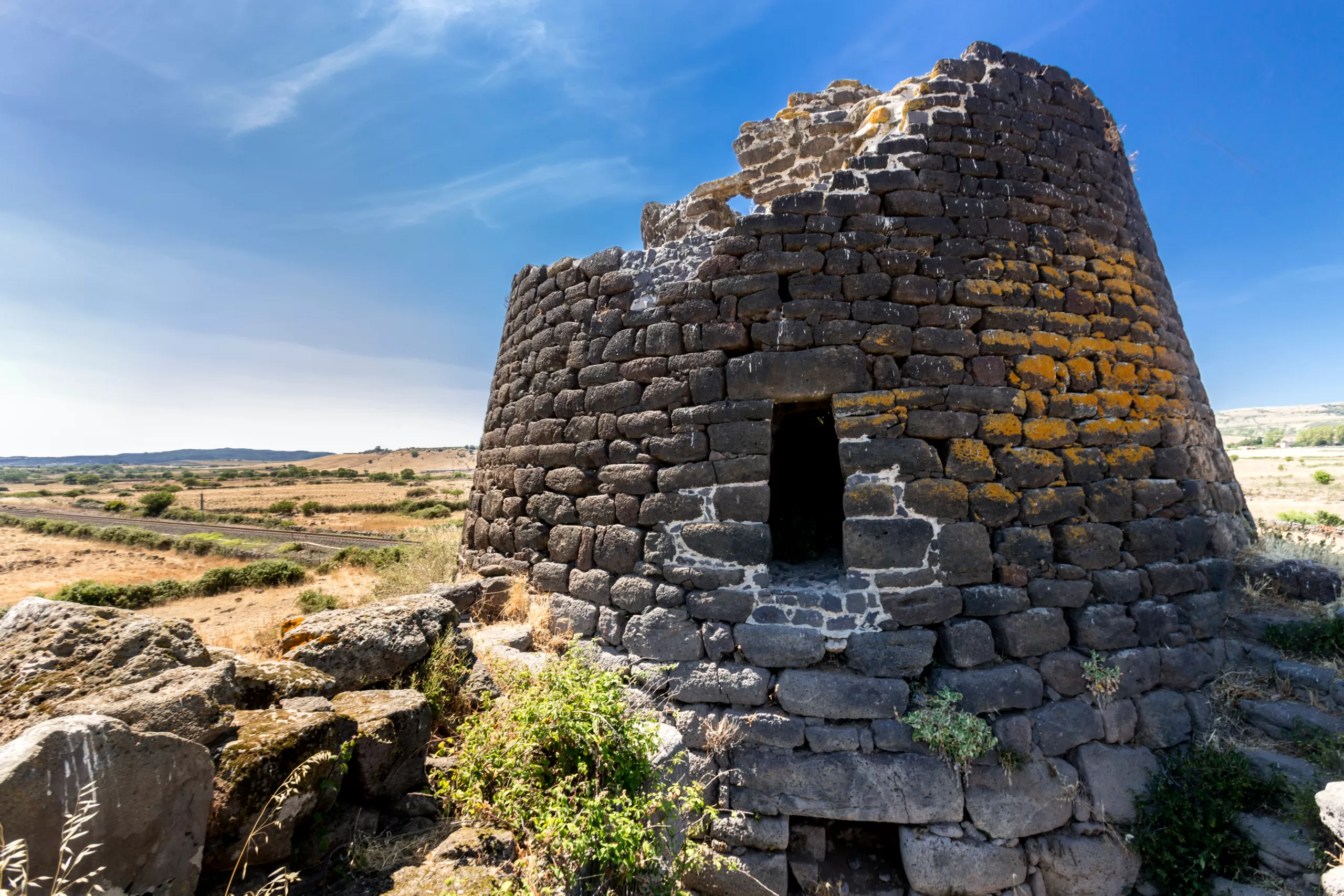
(a) Nuraghe Santa Antine. 
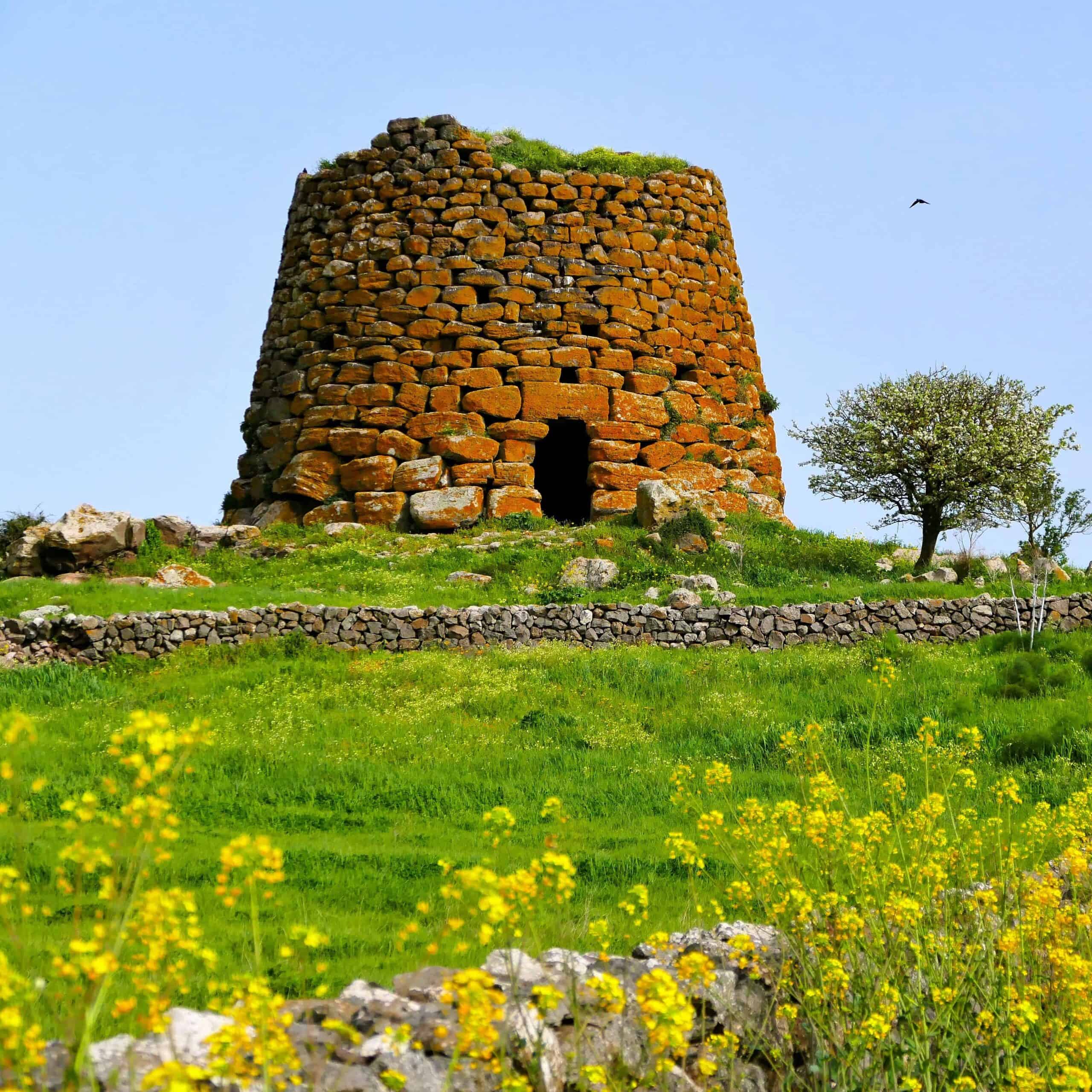
(b) Nuraghe Armungia.
Figure 1: Santa Antine has walls five meter thick. N. Armungia wasrepaired after suffering catastrophic damage.
This article may prove to be a challenge for most readers because its message is beyond what is considered normal. Penetrating the normalcy cocoon can be difficult. This will definitely be the case in this narrative.
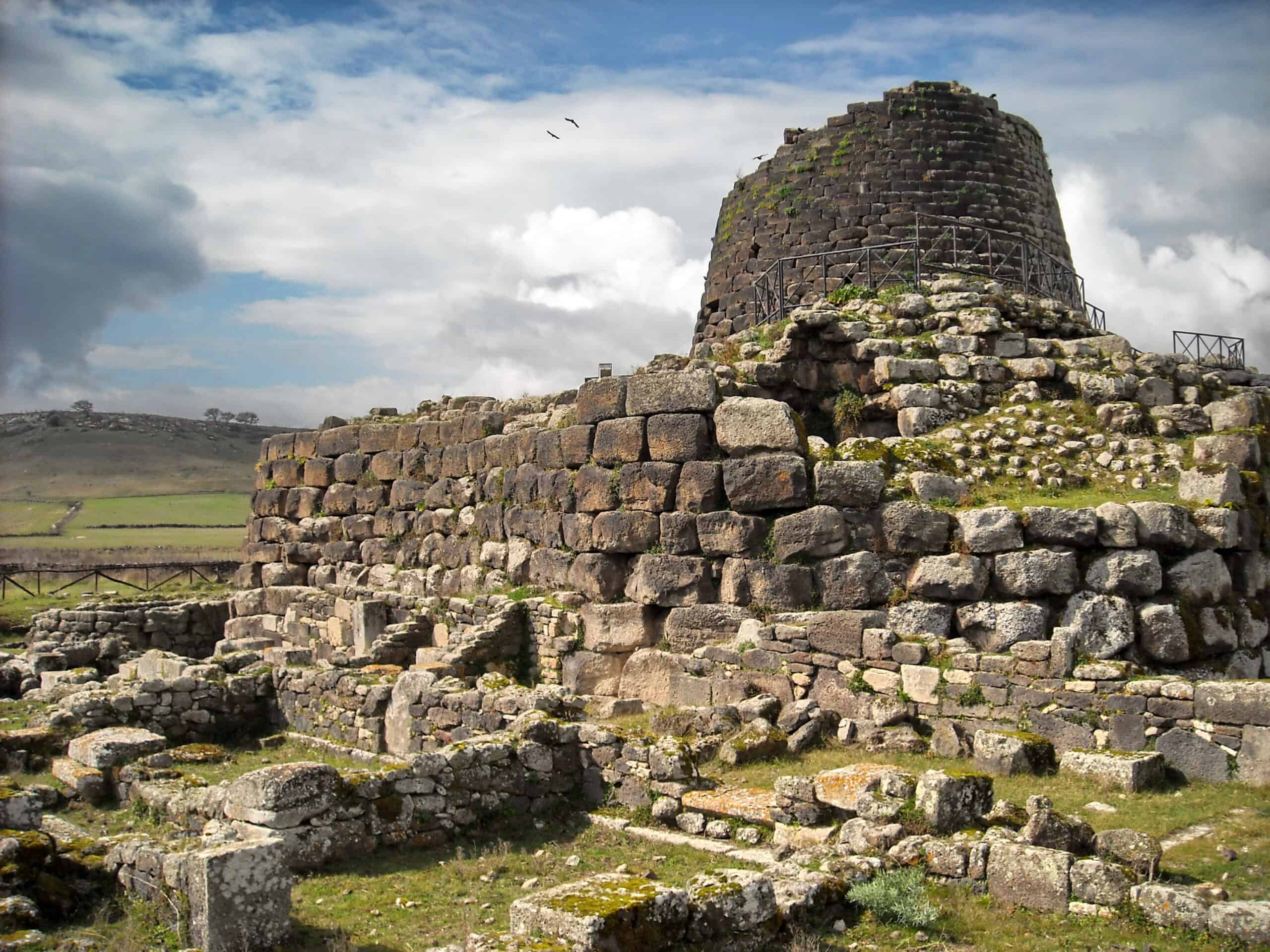
Four points should be kept in mind when reading this narrative. First, these massive structures would not have been built unless the builders confronted extremely powerful and threatening forces. Second, researchers can not explain why they were built. Third, nothing in the annals of science can explain the mosaic in fig. 2. Fourth, the key to understanding their construction is the island’s geology. Therefore, everything in the narrative below will be completely new to the reader.
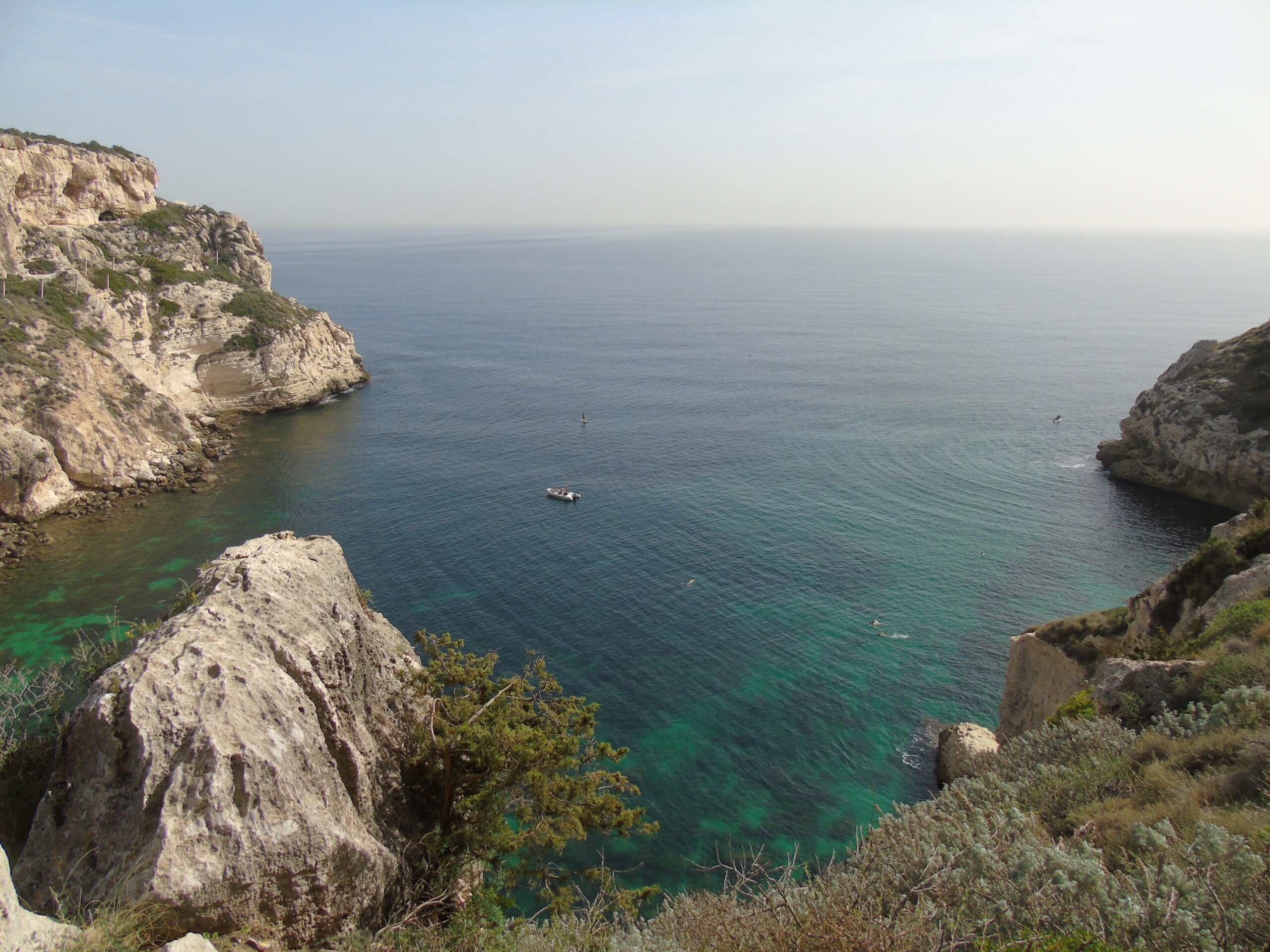
The characteristics that make Sardinia’s landscape different are not unique to the island. Its geology is not so much different as it is compressed into easily comprehensible sizes. The landforms seen on Sardinia can be seen outside the island except they will be on a far larger scale elsewhere. The Mapbox image, fig. 2, is near Gesico, Sardinia. The mosaic is composed of individual agricultural fields most of which probably date back to the end of the Pleistocene. The current science narrative states that some form of erosion over time alters the terrain. However, that narrative can not explain what created this pattern or any examples among the following images. This pattern was directly related to the building of the nuraghi.

Figure 2: Mapbox image: Landscape near Gesico, Sardinia.
Looking at some of these patterns at street level, the geology moves further outside what is considered ’normal’. The images 3a-b are of the same agricultural field. It is a square. The field’s elevation is abruptly higher, fig 3a, than the neighboring parcel and abruptly lower, fig. 3b, than the neighboring field. On the far side of fig. 3a, it is abruptly lower than the adjacent parcel. Science says that the landscape is shaped over time by erosion, but this narrative does not work on Sardinia. Some other examples are shown in fig. 3c-d. These abrupt elevation changes (AECs) are everywhere on Sardinia. Every field in fig. 2 is bordered by AECs. They may range from a few inches in height to many feet. These images raise a very serious point.

(a) Field is abruptly higher. 
(b) and abruptly lower. 
(c) Abrupt elevation changes. 
(d) Abrupt elevation changes.
Figure 3: Examples of abrupt elevation changes found all over Sardinia.
These types of abrupt elevation changes can be found across the island. They are the result of natural forces, and were not constructed by farmers in the past. What this means is that a vast amount of bedrock was removed and had disappeared. In the square shaped field in fig. 2a, its bedrock plus the bedrock from all the fields composing the mosaic, fig. 2, were removed and have disappeared; it is simply gone. Remains of the bedrock won’t be found in heaps scattered around the island. Every field in fig. 2’s pattern is precisely defined. None of the AECs will be found slowly disappearing under mounds of debris. Other interesting features can be found if one looks closely at Sardinia’s terrain
.A sampling of some examples are seen in fig. 4. The massive boulder in fig. 4a probably weighs several thousand tons, and it is sitting on top of the ground. Its smooth finish was not the result of being polished by water, which is the standard explanation. The boulder, fig. 4b, is sitting atop a very large rock. This type of stacked rock is frequently seen on the island’s highlands where rocky outcrops are prominent. These are examples of levitation otherwise the rocks could not have ended up in these positions1. Another feature, fig. 4c, is occasionally observed in road cuts. The bedrock on the right abruptly stops, and it is replaced by a layer of loose material composed mostly of pebbles mixed with soil. The rock outcrop or hill has been reduced to a mere fragment, fig. 4d. Something very powerful had occurred on the island to make all these alterations to the terrain.
The ancient farmers on Sardinia left meticulously crafted images of what they witnessed. Besides the massive nuraghi, the farmers built underground shelters called Domus de Janas (DdJ) that were hewn from solid rock. Some were eventually turned into necropolises which is the current perception of their original function. However, each represented a massive amount of labor that was probably far beyond what a poor agricultural people would have undertaken for burials. In the DdJs, islanders tell what happened. Since the farmers were illiterate, graphic images were their message medium.
In fig. 5c there are two horizontal red bands with upturned ends. These are massive double layered plasma z-pinch auroras (ZPA). The farmers noted the double layer structure of the z-pinch on the ceiling in fig. 5c. It is two thin red lines separated by a dark band representing empty space. The physical structure of the z-pinch can be more clearly seen in Nicola Castangia’s photography fig. 5a-b 2. The two columns in fig. 5b represent the z-pinch-earth plasma connection. Columns are frequently seen in DdJs, but should not be mistaken for a structural support. The z-pinches were connected to each other by a plasma circuitry represented by the red bands radiating from the center one, fig. 5b-d. In fig. 5c, red plasma ribbon is shown extending down from the ZPA to earth’s plasma. It was the z-pinch-earth connections that sculpted Sardinia’s landscape.
The appearances of the ZPAs, were also accompanied by powerful bolts of electricity. These bolts, while extremely powerful, had little impact on the landscape as compared to the plasma connections. The word ’connection’ is used because there was no indication the plasma event was violent, and it seems to have persisted for a short period of time. Geologic evidence indicated the effect of plasma was far more profound than electricity.
Sardinia is a fascinating island. The images in the DdJ’s should be national treasures because of the vital information they contain. When coupled with the island’s geology, the images become understandable. The same features that mark Sardinia’s landscape can be seen elsewhere, but here they are small enough to be comprehensible for the average traveler. After seeing the island’s geology and the images in the DdJs, one can understand why the nuraghi were built. They represent a tremendous human achievement of man over nature.
For more information on Sardinia’s geology and the building of the nuraghi see the author’s website: sardiniandisruption.com.